Winter Trails
St. Andrews - Selkirk - St. Clements
Whether you’re gliding on skis, strapping on snowshoes, or heading out for a peaceful walk, St. Andrews, St. Clements, and Selkirk has a wide variety of family friendly winter trails for you to discover. Walk through snow covered forests, past historic landmarks, through frozen wetlands, and alongside the iconic Red River. All trails are within one hour of Winnipeg. Winter is the perfect time to get outside and explore!
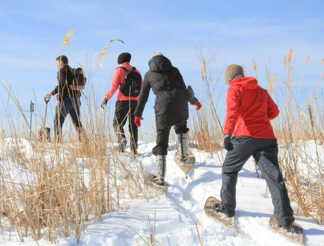
Oak Hammock Marsh
Explore beautiful winter landscapes at Oak Hammock Marsh. Take in the frozen wetland and see winter wildlife like deer and birds. Along the way, interpretive signs share insights about the area’s natural environment.
The outdoor trails are free to use and are marked with different colours and symbols, offering routes of varying lengths to suit all skill levels. A small admission fee applies to the Interpretive Centre, which is open year-round and offers washrooms and refreshments.
Snowshoes and cross-country skis are available to rent at the Interpretive Centre.
Location: 1 Snow Goose Bay, Stonewall
Activities: Cross-country skiing, snowshoeing, & hiking

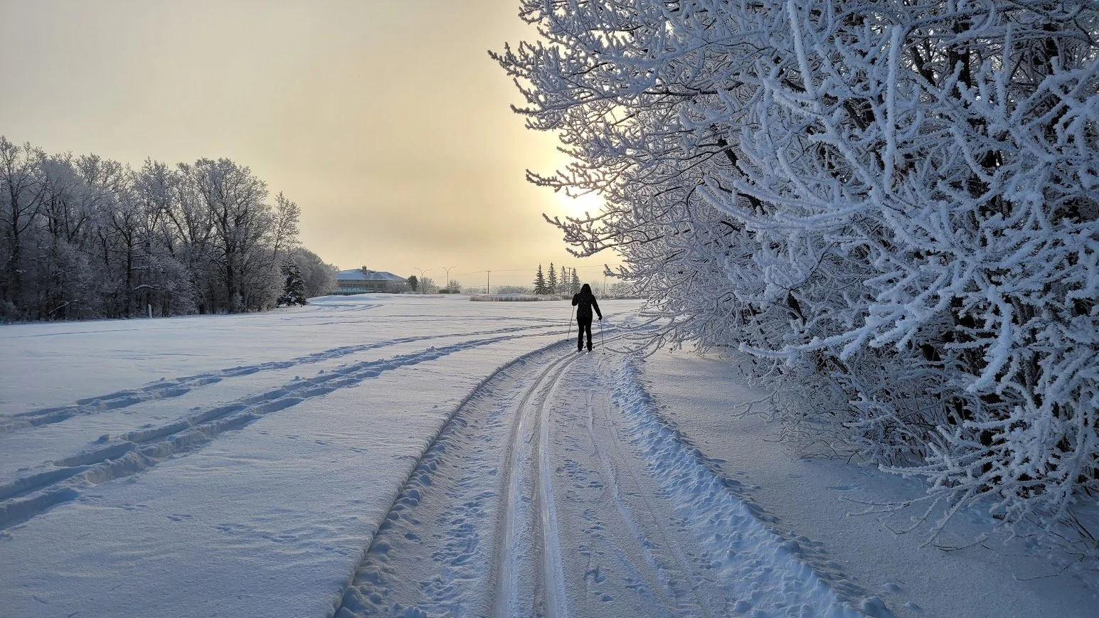
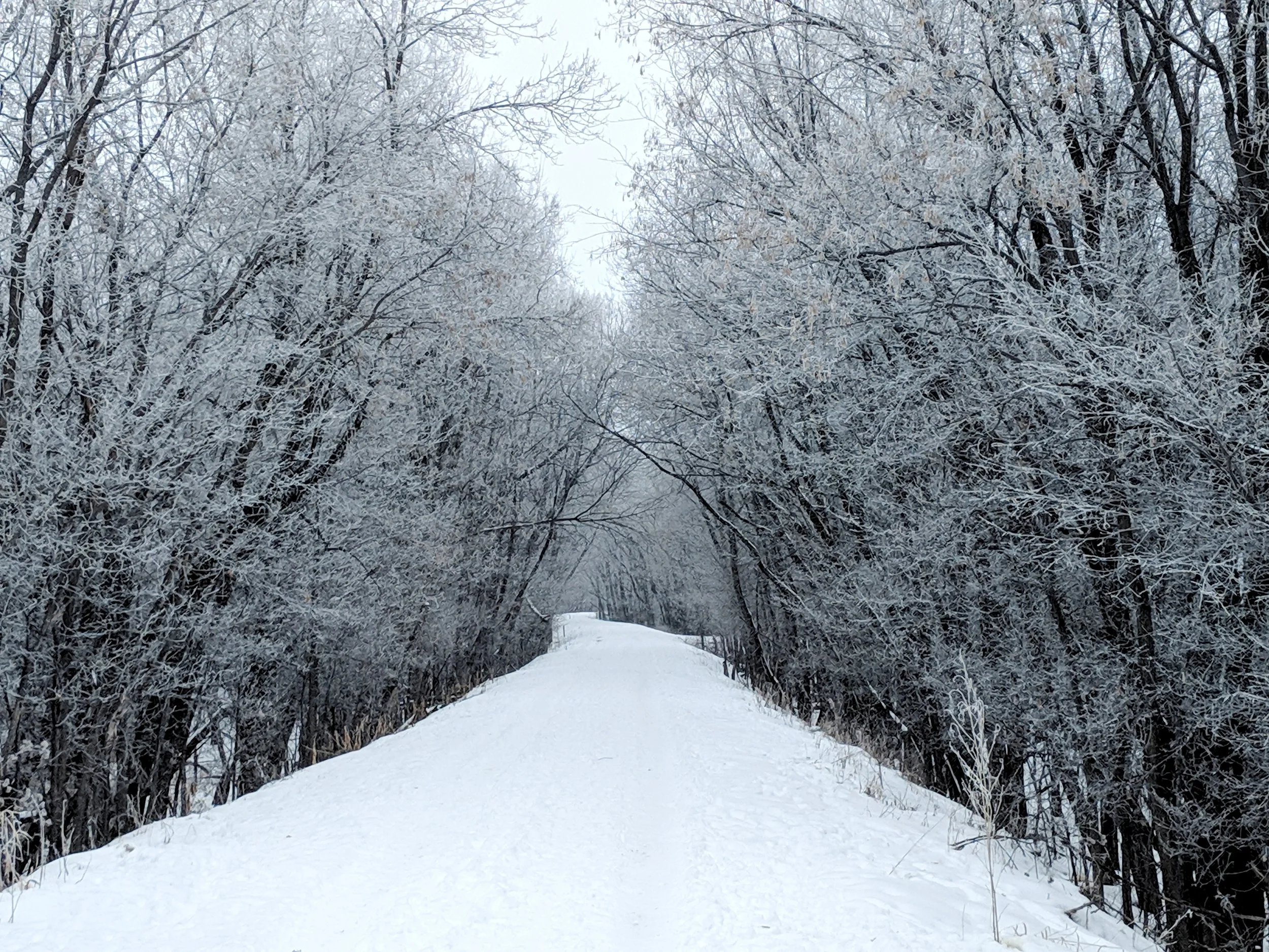
Larters Ski Trail
Only 15 minutes north of Winnipeg, Larters Ski Trail is a great nearby option for a winter adventure. This 5 to 6.5 km groomed, multi-use trails is ideal for cross-country skiing and snowshoeing. The trail goes through the golf course and around the property for some picturesque views.
Maintained and groomed weekly by the RM of St. Andrews, the trail features three easy main loops: the Driving Range Loop (0.5 km), the Inner Loop (1.4 km), and an Outer Loop (4.5 km) with a few more hills for extra difficulty.
Please note that there are no public washrooms or warming huts, so plan accordingly. Trail conditions can be found here.
Location: 30 River Rd, St. Andrews, Larters Golf & Country Club
Activities: Cross-country skiing & snowshoeing

Lower Fort Garry Walking Trail
The Lower Fort Garry Trail is a 2.1 km loop that winds around the fort’s historic stone walls and limestone buildings. The trail is considered easy and flat, which is perfect for a relaxed winter walk.
The grounds are open daily, allowing you to explore at your own pace, and typically takes 30 to 60 minutes to complete. Please note that the Visitor Centre and washrooms are closed during the winter months, so plan before your visit.
Location: 5925 Hwy 9, St. Andrews, Lower Fort Garry National Historic Site
Activities: Hiking & snowshoeing
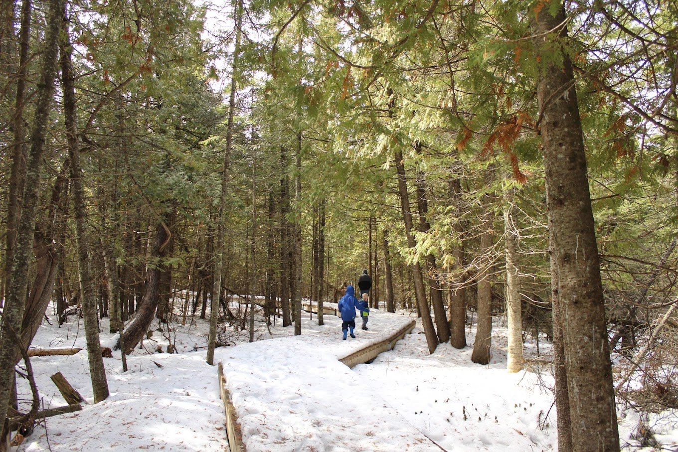
Brokenhead Wetland Trail
Located just off Highway 59, the Brokenhead Wetland Interpretive Trail, a 1.83 km one-way boardwalk that winds through a snow covered cedar forest and wetland. Open year-round, the trail features interpretive signs highlighting the area’s Indigenous, medicinal, and ecological significance.
During the winter months, the main parking area is gated, and visitors can park along the highway shoulder or in a small gravel area before the gate. Please note that hiking is at your own risk. The trail is not maintained in the winter and can be icy and covered in snow.
Dogs are not allowed on the trail. Please stay on the boardwalk to protect the fragile ecosystem as rare plants hide beneath the snow.
Location: 1 km south of PTH 12 and Hwy 59, Beaconia
Activities: Hiking
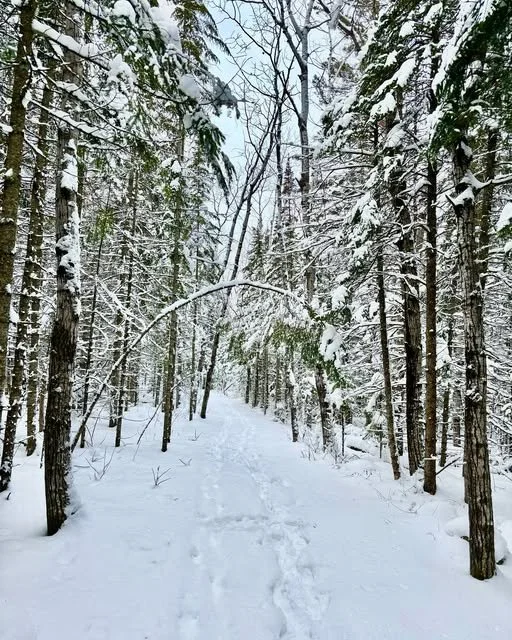
Beaconia to Birch Grove Community Trail
The Beaconia to Birch Grove Community Trail (B2BG Trail) is a section of the Trans Canada Trail in Manitoba, that connects several small communities, including Island Beach, Boulder Bay, Balsam Harbour, Halcyon Cove, Thomas Cove, and Lakeshore Heights.
For those looking for a quieter skiing experience, the B2BG Trail will be an instant favourite. Enjoy a peaceful 6 km route that follows a historic railway bed and offers some picturesque views along the way.
The B2BG Trail is maintained by community volunteers. For up-to-date information, check their Facebook page here.
Location: Click here
Activities: Cross-country skiing, snowshoeing, & hiking
Selkirk Park
Selkirk Park offers trails that takes you along the Red River, past the Marine Museum of Manitoba, and through frozen wetland areas.
There are four trails of varying lengths that are named after birds commonly spotted in the area: Blue Jay Trail (200 m), Mallard Trail (875 m), Chickadee Trail (2 km), and the Red Wing Blackbird Trail (3.5+ km). You can find a map of the trails here or at the entrance to the park.
Please note that ski trails are not maintained by the City of Selkirk. However, a dedicated volunteer group called, Selkirk Happy Trails, who work hard to maintain portions of the trails throughout winter. Follow them on Facebook here!
Location: 486 Eveline St, Selkirk
Activities: Hiking, snowshoeing, & cross-country skiing